SITE UNDER CONSTRUCTION – PLACEHOLDER IMAGE ONLY
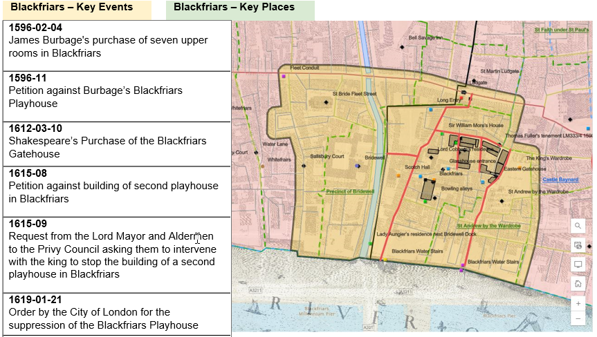
Key Events/Key places will be constructed for each of our four playhouse districts – Blackfriars, Cockpit, Curtain, and Fortune. Their purpose is to describe the local geography around the year 1616 and spatial relationships within each district. They also tell the story of each playhouse through key historical events recorded in our selected documents. These are listed chronologically in the expandable table beside the map; clicking on an event will display further information about the event, and highlight the locations related to the event on the map, such as the residences of the participants, locations where plays were staged or viewed, or businesses which were involved in the event.
